Always good to see modern cartography – and the unlocking (unleashing?) of potential of digital tools and mobile devices. An interesting short post at Fast Company’s blog Co.Design looks at some work in mobile mapping (Nokia’s Next Platform) and some interesting tools, many that use nested tiling to make them more nimble.
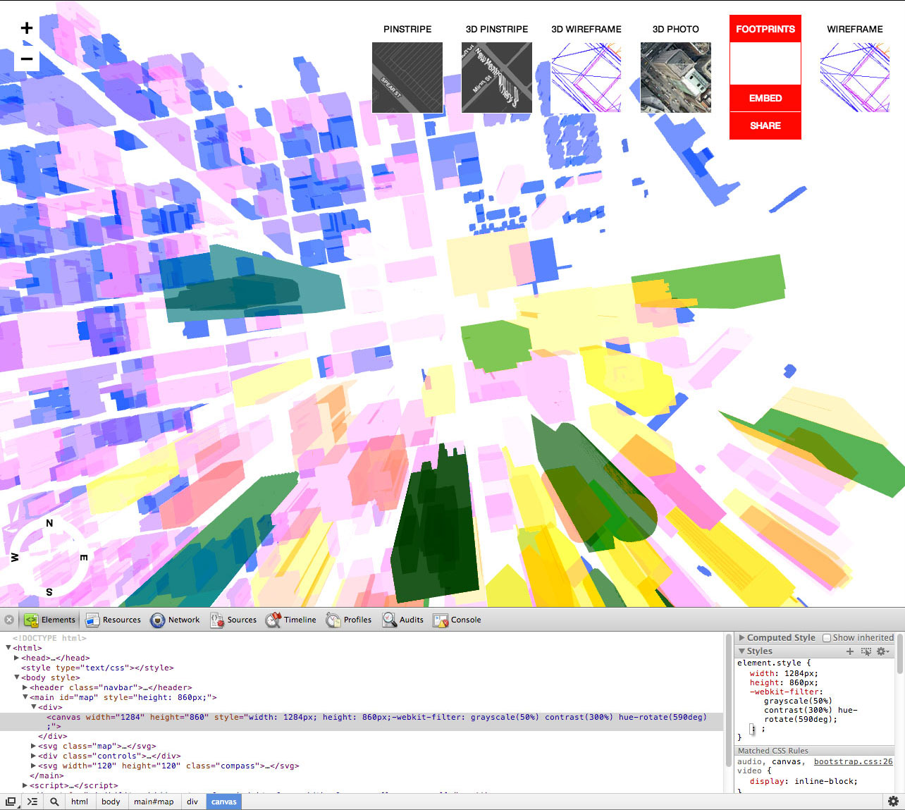
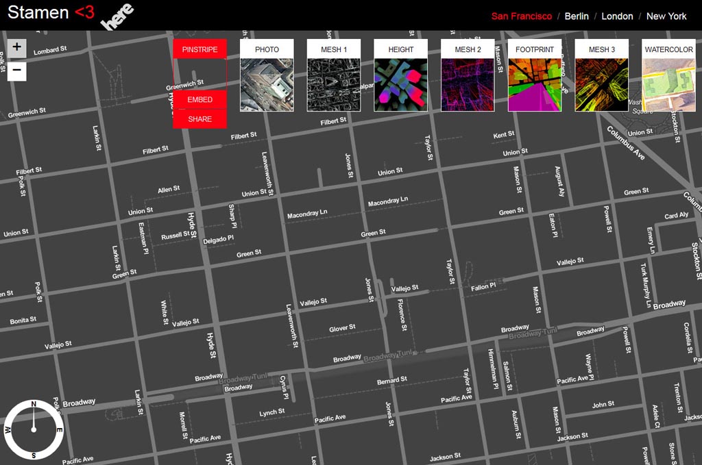
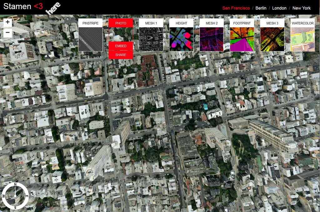
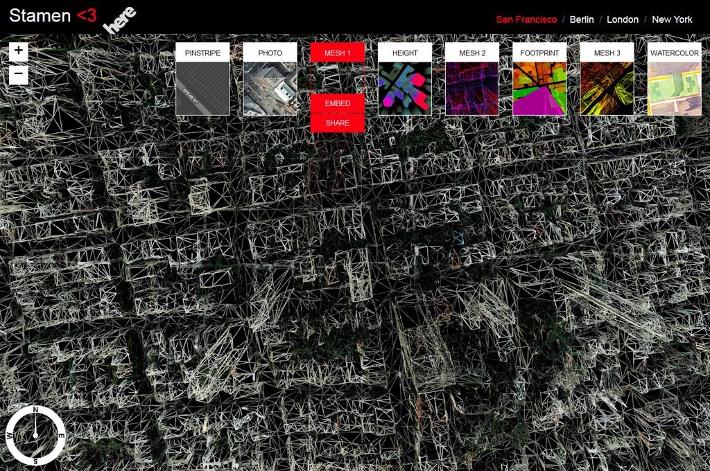
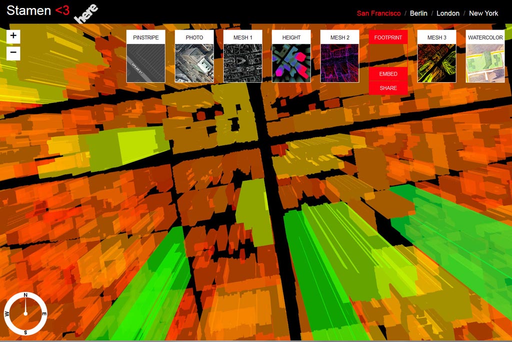
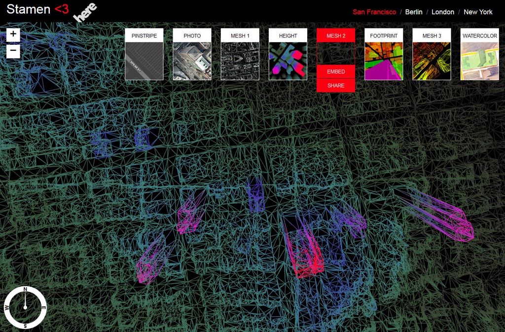
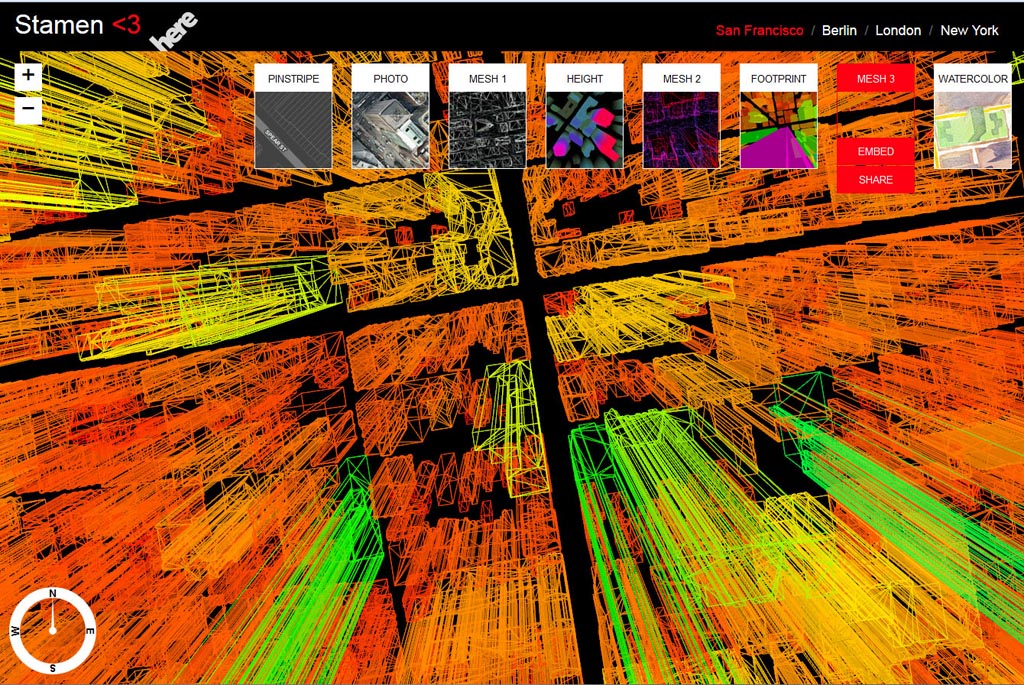
I attempted to do some map examples, but it’s a bit unstable. The embed/share interface is kinda buggy and won’t cut/paste the info. The mapping tabs switching and navigating lagged and crashed quite a bit, until i finally gave up. It seems more a beta than anything at this point. I did manage to get a snapshot of each map type – that shows some of options for visualization (in this case, San Francisco).
Pinstripe
Photo
Mesh 1
Height
Mesh 2
Mesh 3
Watercolor

While some of these are more visually interesting that helpful. Some look like early Tron graphics or the jump to hyperspace – and i was really disappointed by watercolor. But, these tools do does celebrate, at least somewhat, the agency of mapping that Corner proposes, and the prevalence of digital tools and access to technology that makes this easier for folks without extensive training and money to use tools to tell stories.
Or as, as Stamen CEO mentions on Fast Company:
“There’s a ton of space and room in this field for straight up visual representation as a way to engage the public.”
Check out more info on the methodology as well to give a full taste of the potential – through further customization via CSS – which unlocks event more potential. Be a shame if you have to have a Nokia to tap into it though.