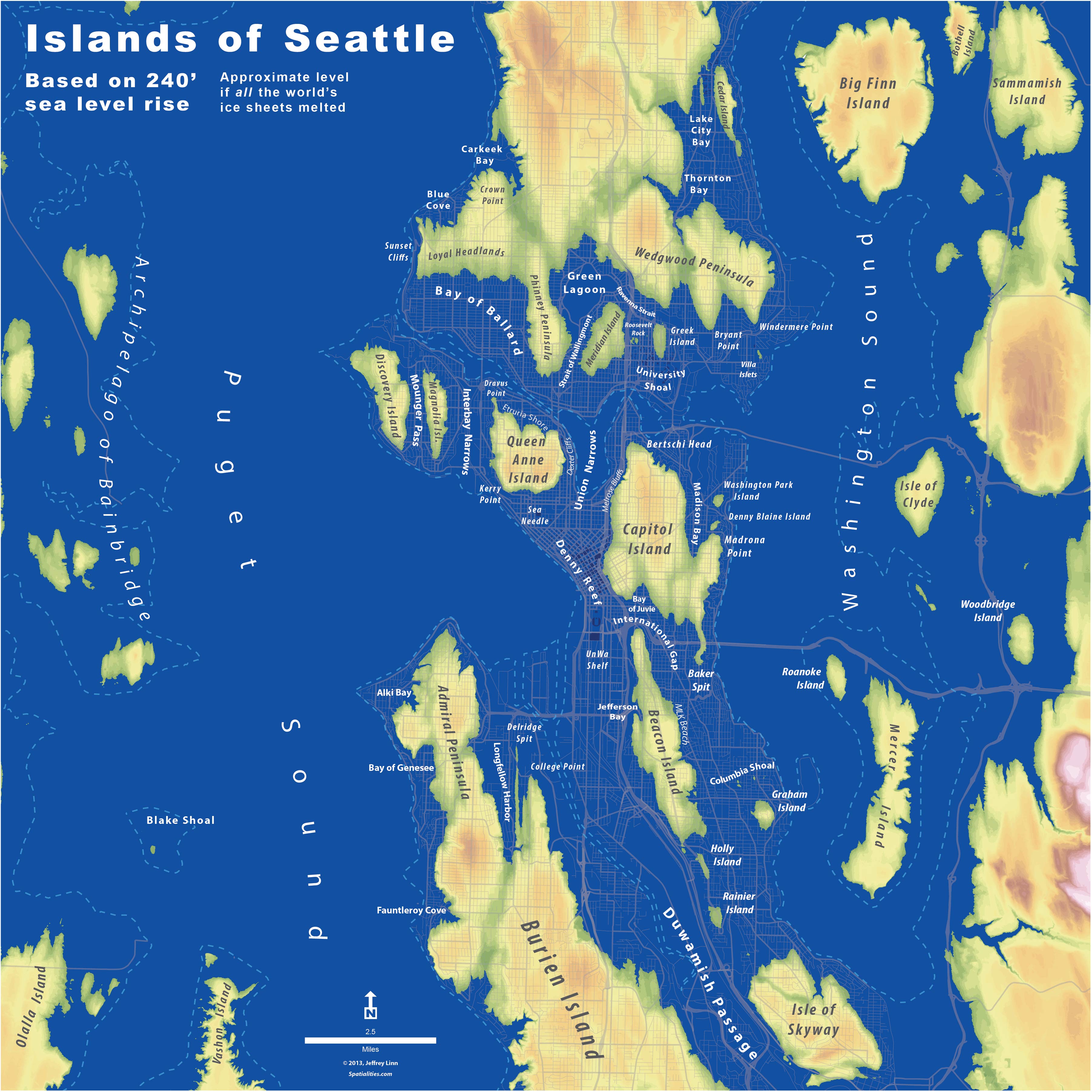
This map of Seattle by UW Planner Jeffrey Linn via a post on The Whole U, features a speculation on sea level change in the Seattle region. The result is dramatic when taken to the level of complete world ice-sheets melting resulting in a 240′ sea level rise. Particularly is you live in certain parts of town. I think we’re all gonna need a bigger boat.
While obviously turning the volume up to 11 on the flood potential (a total rise of 240 feet), it interesting is this city of hills to see the sort of archipelago-like flavor to the region. As Linn mentions:
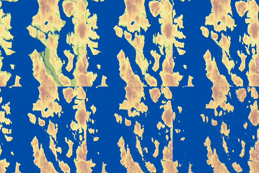
“This map is based on real-world information—I created the Seattle sea levels from publicly-available LiDAR data, rendering the rise of the seas in 10-foot increments for the animation, starting at the current shoreline, and ending with the 240-foot level. The Islands of Seattle poster was rendered at 240 feet of rise, which is roughly what would happen if all the world’s ice sheets melted”
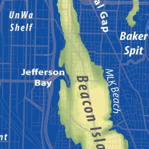
The animation and a closeup detail.
See more details, see the animation, buy posters? and check out Linn’s very new blog Spatialities for more. One thing I didn’t realize until i looked at the comments on his blog, was that some of the taller downtown buildings above the water would be sticking out, such as a half-submerged Space Needle perhaps? I’d love to see this rendered over some aerial shots to get the full potential, and identify some current upland property that might be a nice shoreline property someday in the distant future.
While the references to the horror of “The Road or Blade Runner or Metropolis.” are evoked, i’d say it’s indicative of a much worse post-apocalyptic vision. Enjoy.


One thought on “Islands of Seattle”